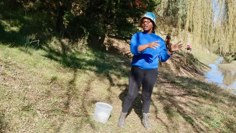
Nkeletseng Mats'umunyane is a Lesothan expert in water resources management and geographic information systems (GIS)—a tool used for environmental modelling, management, and planning. As a recipient of a TWAS-Sida PhD Scholarship for Climate Research for Students from Least Developed Countries (LDCs), she is poised to explore questions related to climate change and its impact on protected areas.
Her research will focus on lands and rivers within these areas of Lesotho, where natural resources are safeguarded and managed sustainably. Starting in June 2024, she will investigate how these ecosystems rehabilitate from the effects of climate change.
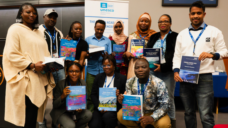
The recent TWAS workshop on 'Joint Climate Science Network, Mentorship and Capacity Growth', organized by TWAS with the support of the David and Lucile Packard Foundation and held in Trieste, Italy, on 14–16 May, provided an excellent incentive for Mats’umunyane's career.
During the event, experts working with the Intergovernmental Panel on Climate Change (IPCC) shared insights with 47 scientists from 36 developing countries. The workshop covered not only climate science but also soft skills, teaching effective strategies to communicate about climate issues with diverse audiences.
GIS is a mapping technology that captures, analyses, and stores data relative to specific positions on Earth. The technology then connects apparently unrelated information, allowing for informed policy interventions on land use, vegetation, and conditions like pollution or droughts.
Mats'umunyane three-day full-immersion experience at the workshop exposed her to new approaches for addressing issues related to the climate crisis. She also learned how to present on sensitive topics and engage with different parties. In this interview, she provides further insights into her work and experience at the TWAS event. яндекс
Q. What is the impact of climate change on Lesotho?
A. Although my country occasionally experiences rainfall, due to high temperatures the water just evaporates leaving the land dry and crops stressed. Hence Lesotho is primarily—but not exclusively—affected by droughts. While the government and representatives from international organizations provide humanitarian help, these efforts offer only temporary relief and are not a permanent solution.
Q. What would a good approach be?
A. We should build a solid body of scientific knowledge to support, for example, an early warning system that is still not in place. Dissemination of scientific knowledge about climate at all levels is also important. But, most importantly, scientists should build stronger skills on climate issues and then urge policymakers to take responsibility and action regarding how climate change will affect Lesotho.
Q. Protected areas in Lesotho will be the focus of your four-year TWAS-Sida scholarship, leading to a PhD. Why are they important?
A. They serve to assess how places that are not under pressure from human beings and animals respond to climate change, compared to unprotected areas. Markers of climate change impact are visible on river systems, local ecosystems, and geological processes such as erosion. Soil erosion, in turn, directly contributes to wetland degradation. And since most of our water comes from wetlands, it is crucial to understand how they can be preserved. Protected areas also play a major role in biological carbon sequestration, a process whereby carbon dioxide is naturally captured from the atmosphere and stored in forests, kelp algae, and other vegetables. These areas, the so-called carbon sinks, play a crucial role in carbon circulation on Earth.
Q. What will your daily activity be during these four years?
A. Over the course of my four-year scholarship, I will be engaged in a lot of fieldwork. This includes taking direct field measurements, as the soil is vulnerable and is eroded by heavy rains and droughts. To this end, I will also use remote sensing techniques, GIS, and earth observation from Landsat* to retrieve historic images. Additionally, I will interview people who have been living in that area for a long time because they are the historical memory of a place and can describe how the vegetation was in the past, before it was protected. Listening to their voice will add important information to my research.
Q. What new abilities did this workshop add to your scientific and personal skills?
A. Because I was invited to this event, I'd like to say that I am really grateful to TWAS for this opportunity and for organizing such an interesting programme. Before coming to Trieste, I was already a consultant for my government. The TWAS workshop has given me a broader view on effective negotiation, adjusting the message I want to convey to the recipient. I've also learned a lot about IPCC, the procedures, and what to do to become a more active IPCC member.
Q. How will you use your new skills?
A. I will definitely share this knowledge with my colleagues in Lesotho. As I said, we need to build scientific knowledge and a stronger community of scientists who deal with climate. I will also do more dissemination and outreach, which is something that I already do informally with family and friends. Currently, many people in my country lack the tools to understand scientific topics. At the TWAS workshop, I learned the importance to communicate in a way that allows people to understand complex topics. You can't impose your views and information. Instead, you should suggest and invite. Bringing new ideas in a smooth way is a good strategy if you want people to listen to you and apply your suggestions.
(Interview edited for clarity).
Cristina Serra
* Landsat is a joint National Aeronautics and Space Administration/United States Geological Survey programme that has the longest uninterrupted record of Earth images and data taken from the space. It was launched on 23 July 1972 and, since then, it has acquired billions of images that allow making informed decisions about the Earth and its conditions.